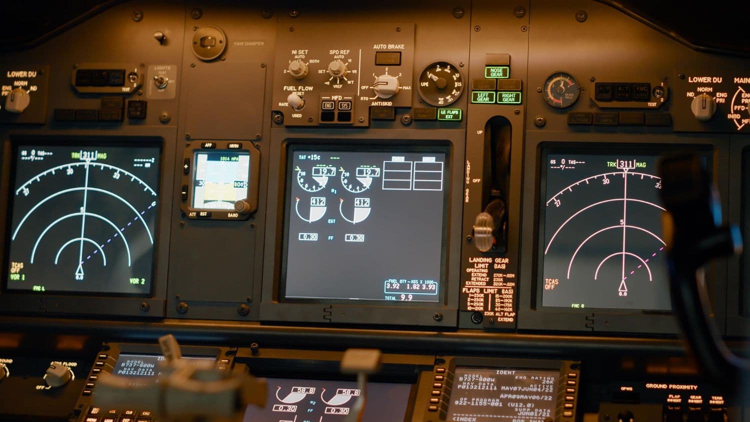


Every pilot knows that navigation is the backbone of safe flying. Whether you're preparing for your DGCA CPL exams or brushing up before a cross-country flight, having all the essential formulas at your fingertips can make the difference between confusion and confidence.
This quick reference guide compiles every navigation formula you'll need—from basic unit conversions to complex critical point calculations. Bookmark this page and keep it handy during your study sessions.
Basic Conversions
Before diving into complex calculations, you need to master these fundamental conversions. These form the building blocks for all navigation problems.
Distance Conversions
| Conversion | Formula |
|---|---|
| Nautical Miles to Kilometers | 1 NM = 1.852 km |
| Nautical Miles to Feet | 1 NM = 6,080 ft |
| Statute Miles to Kilometers | 1 SM = 1.609 km |
| Statute Miles to Feet | 1 SM = 5,280 ft |
| Kilometers to Nautical Miles | km × 0.54 = NM |
| Feet to Meters | ft × 0.3048 = m |
| Meters to Feet | m × 3.281 = ft |
Speed Conversions
| Conversion | Formula |
|---|---|
| Knots to km/h | Knots × 1.852 = km/h |
| km/h to Knots | km/h × 0.54 = Knots |
| Knots to mph | Knots × 1.151 = mph |
Pro Tip: For quick mental math, remember that 60 knots ≈ 1 NM per minute. This makes time-distance calculations much easier during flight.
Earth & Distance Formulas
Understanding Earth's geometry is crucial for long-distance navigation. These formulas help you calculate distances and track differences.
Departure Formula
Departure is the East-West distance in nautical miles.
Formula:
Departure = D.Long (in minutes) × cos(Latitude)
Example: Flying from 75°E to 80°E at latitude 28°N
- D.Long = 5° = 300 minutes
- Departure = 300 × cos(28°) = 300 × 0.883 = 265 NM
Convergency Formula
Convergency is the angle between two meridians at a given latitude.
Formula:
Convergency = D.Long × sin(Mean Latitude)
Conversion Angle
The difference between Great Circle and Rhumb Line tracks.
Formula:
Conversion Angle = ½ × Convergency
Great Circle vs Rhumb Line
| Aspect | Great Circle | Rhumb Line |
|---|---|---|
| Distance | Shorter | Longer |
| Track | Changes constantly | Constant |
| Chart Appearance | Curved line | Straight line (Mercator) |
| Use Case | Long distances | Short distances |
Time Calculations
Accurate time calculations are essential for flight planning and fuel management.
Local Mean Time (LMT)
Formula:
LMT = UTC + (Longitude ÷ 15)
- East of Prime Meridian: Add time
- West of Prime Meridian: Subtract time
Example: What is LMT at 82°30'E when UTC is 0600?
- Time difference = 82.5 ÷ 15 = 5 hours 30 minutes
- LMT = 0600 + 0530 = 1130 LMT
Arc to Time Conversion
| Arc | Time |
|---|---|
| 360° | 24 hours |
| 15° | 1 hour |
| 1° | 4 minutes |
| 15' | 1 minute |
| 1' | 4 seconds |
Indian Standard Time (IST)
IST = UTC + 5 hours 30 minutes (based on 82°30'E longitude)
The 1-in-60 Rule
This is the most frequently used rule in practical navigation. Master it well.
Track Error Angle (TEA)
Formula:
TEA = (Distance Off Track × 60) ÷ Distance Flown
Correction to Reach Destination
Formula:
Correction Angle = TEA + [(Distance Off × 60) ÷ Distance Remaining]
Correction to Parallel Track
Formula:
Correction = TEA only
Practical Example: You've flown 60 NM and find yourself 3 NM right of track. Distance remaining to destination is 120 NM.
- TEA = (3 × 60) ÷ 60 = 3°
- Additional correction = (3 × 60) ÷ 120 = 1.5°
- Total correction = 3° + 1.5° = 4.5° left
Wind Triangle
The wind triangle relates aircraft heading, track, wind direction, and speeds.
Basic Relationships
Heading Formula:
Heading = Track ± Drift
- Wind from left: Heading = Track + Drift
- Wind from right: Heading = Track - Drift
Wind Correction Angle (WCA)
Formula (approximation for small angles):
WCA = (Wind Speed × sin(Wind Angle)) ÷ TAS × 60
Ground Speed Calculation
Formula:
GS = TAS ± Wind Component along track
- Headwind: Subtract
- Tailwind: Add
Cross-Wind Component
Formula:
Cross-Wind = Wind Speed × sin(Angle between wind and runway)
Speed-Distance-Time
These fundamental formulas are used in almost every navigation problem.
Basic Formula
Distance = Speed × Time
Speed = Distance ÷ Time
Time = Distance ÷ Speed
Remember: When using knots, time must be in hours. For minutes, use:
Time (min) = (Distance × 60) ÷ Speed (knots)
ETA Calculation
ETA = Departure Time + Flight Time
Flight Time = Distance ÷ Ground Speed
Fuel Consumption
Fuel Required = Fuel Flow × Time
Endurance = Fuel Available ÷ Fuel Flow
Altimetry Formulas
Critical for understanding aircraft performance and terrain clearance.
Pressure Altitude
Formula:
Pressure Altitude = Indicated Altitude + [(1013.25 - QNH) × 27]
Note: Use 28 ft per hPa for quick calculations.
Example: Indicated altitude 5000 ft, QNH 1003 hPa
- PA = 5000 + [(1013.25 - 1003) × 27]
- PA = 5000 + (10.25 × 27) = 5277 ft
Density Altitude
Formula:
Density Altitude = Pressure Altitude + (120 × Temperature Deviation)
Temperature Deviation = OAT - ISA Temperature
ISA Temperature at altitude = 15°C - (2°C × altitude in thousands of feet)
True Altitude
Formula:
True Altitude = Indicated Altitude + [4 × (OAT - ISA Temp) × (Indicated Alt ÷ 1000)]
Critical Point & Point of No Return
Essential for flight planning, especially over water or remote areas.
Critical Point (CP) / Equal Time Point (ETP)
Formula:
CP = (D × H) ÷ (O + H)
Where:
- D = Total distance
- H = Ground speed home
- O = Ground speed out
Example: Total distance 600 NM, GS out 150 kt, GS home 120 kt
- CP = (600 × 120) ÷ (150 + 120)
- CP = 72000 ÷ 270 = 267 NM from departure
Point of No Return (PNR)
Formula:
PNR = (E × O × H) ÷ (O + H)
Where:
- E = Safe endurance (hours)
- O = Ground speed out
- H = Ground speed home
Alternative Formula (distance):
PNR Distance = (E × O × H) ÷ (O + H)
Radio Navigation
Modern navigation still relies heavily on ground-based radio aids.
DME Slant Range Correction
Formula:
Ground Distance = √(DME² - Height²)
Where both DME and Height are in the same units (usually NM).
Quick Rule: Slant range error is significant only when:
- Close to the station (within 1 NM per 1000 ft altitude)
- At high altitudes
VOR Radial Calculations
QDR (Radial): Magnetic bearing FROM the station
QDM (To bearing): Magnetic bearing TO the station
QDM = QDR ± 180°
NDB Relative Bearing to QDM
Formula:
QDM = Heading + Relative Bearing
If result > 360°, subtract 360°.
Example: Heading 270°, RB 045°
- QDM = 270 + 045 = 315°
ADF Homing
To home to an NDB, turn until Relative Bearing = 000°.
To track TO the NDB on a specific QDM:
Required Heading = QDM - Drift
Quick Reference Summary Table
| Calculation | Formula | Units |
|---|---|---|
| Departure | D.Long × 60 × cos(Lat) | NM |
| Convergency | D.Long × sin(Mean Lat) | degrees |
| LMT | UTC + (Long ÷ 15) | hours |
| Track Error | (Off Track × 60) ÷ Distance Flown | degrees |
| Pressure Alt | Ind Alt + (1013 - QNH) × 27 | feet |
| Critical Point | (D × H) ÷ (O + H) | NM |
| PNR | (E × O × H) ÷ (O + H) | NM |
Exam Tips
-
Units matter: Always check if the question uses NM, SM, or km.
-
Draw diagrams: Wind triangles and track problems become clearer with a quick sketch.
-
Use the 1-in-60 rule: It's faster than trigonometry for small angles.
-
Practice with CRP-5: Many questions expect you to use the navigation computer.
-
Remember ISA: Sea level pressure is 1013.25 hPa, temperature is 15°C.
-
Cross-check answers: If your calculated ground speed is negative or heading is impossible, recheck your work.
Practice Problems
Test your understanding with these sample questions:
Problem 1: An aircraft flies from A (70°E) to B (85°E) along latitude 25°N. Calculate the departure.
Problem 2: Ground speed out is 140 kt, ground speed home is 180 kt. Total distance is 500 NM. Where is the Critical Point?
Problem 3: You're 4 NM left of track after flying 80 NM. Distance to destination is 160 NM. What heading correction is needed?
Solutions:
- D.Long = 15° = 900'. Departure = 900 × cos(25°) = 900 × 0.906 = 816 NM
- CP = (500 × 180) ÷ (140 + 180) = 90000 ÷ 320 = 281 NM from departure
- TEA = (4 × 60) ÷ 80 = 3°. Additional = (4 × 60) ÷ 160 = 1.5°. Total = 4.5° right
Conclusion
Navigation formulas might seem overwhelming at first, but with regular practice, they become second nature. Keep this reference handy during your DGCA preparation, and work through as many practice problems as possible.
Remember: Understanding the concepts behind each formula is just as important as memorizing them. When you know why a formula works, you can derive it even if you forget the exact format during an exam.
Good luck with your DGCA examinations!